


Upcoming Trips
-
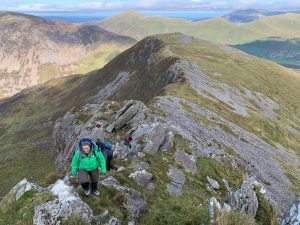
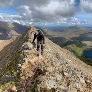
Snowdon via Crib Goch
17 Jul£295.00 -

Wild Camping in Snowdonia
21 Aug£195.00 -

Welsh 3,000’s Challenge
29 Aug£495.00 -
Wild Camping in Snowdonia
18 Sep£195.00 -

Winter ascent of Snowdon
08 Jan£285.00

Exploring snowdonia…
Situated in North Wales, Snowdonia National Park is home to over 26,000 people, of which more than half speak Welsh.
As well as being the largest National Park in Wales, Snowdonia boasts the highest mountain in England and Wales, and the largest natural lake in Wales, as well as a wealth of picturesque villages like Betws y Coed and Beddgelert.
The National Park Authority aims:
- Foster the economic and social well-being of its communities.
- Conserve and enhance the natural beauty, wildlife and cultural heritage of the area.
- Promote opportunities to understand and enjoy its special qualities
Snowdonia History
Snowdonia National Park, Britains third national park, was established in 1951
It covers 823 square miles (2,140 km2), and has 37 miles (60 km) of coastline.
The Snowdonia National Park covers parts of the counties of Gwynedd and Conwy.
The English name for the area derives from Snowdon, which (at 1,085m) is the highest mountain in Wales.
In Welsh, the area is named Eryri. A commonly held belief is that the name is derived from eryr (“eagle”), and thus means ‘the land of eagles’, but recent evidence is that it means Highlands, and is related to the Latin oriri (to rise).
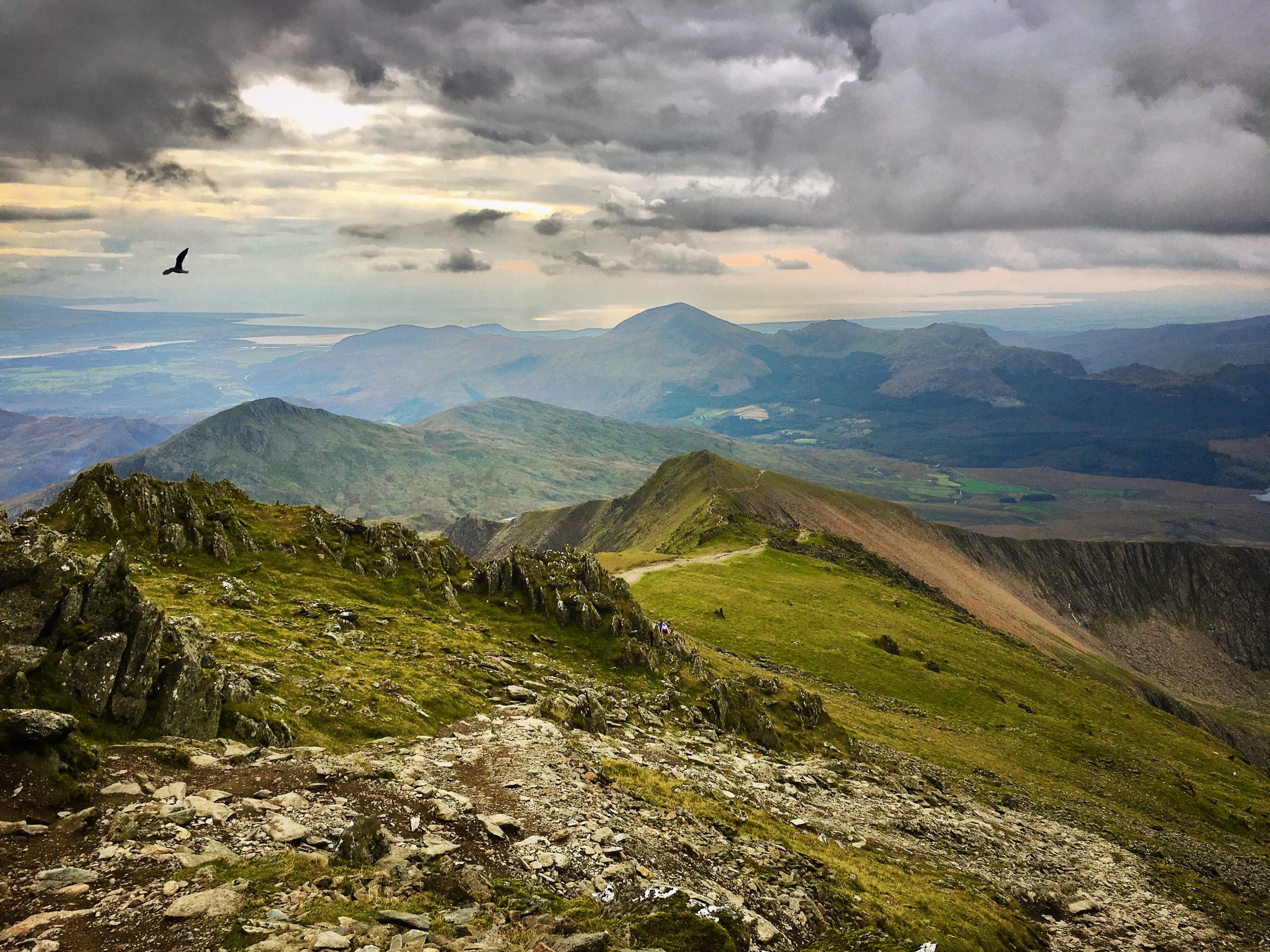
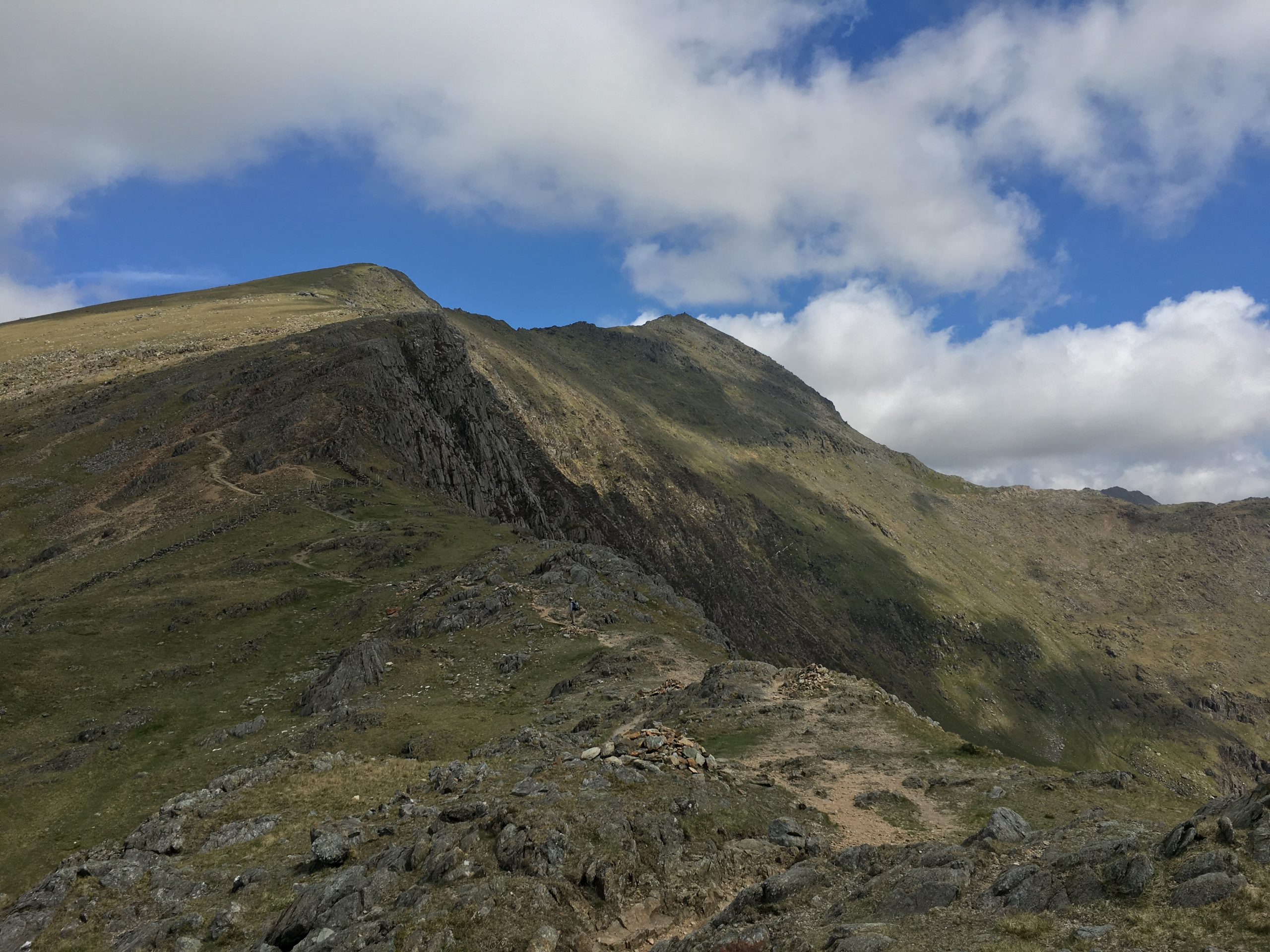
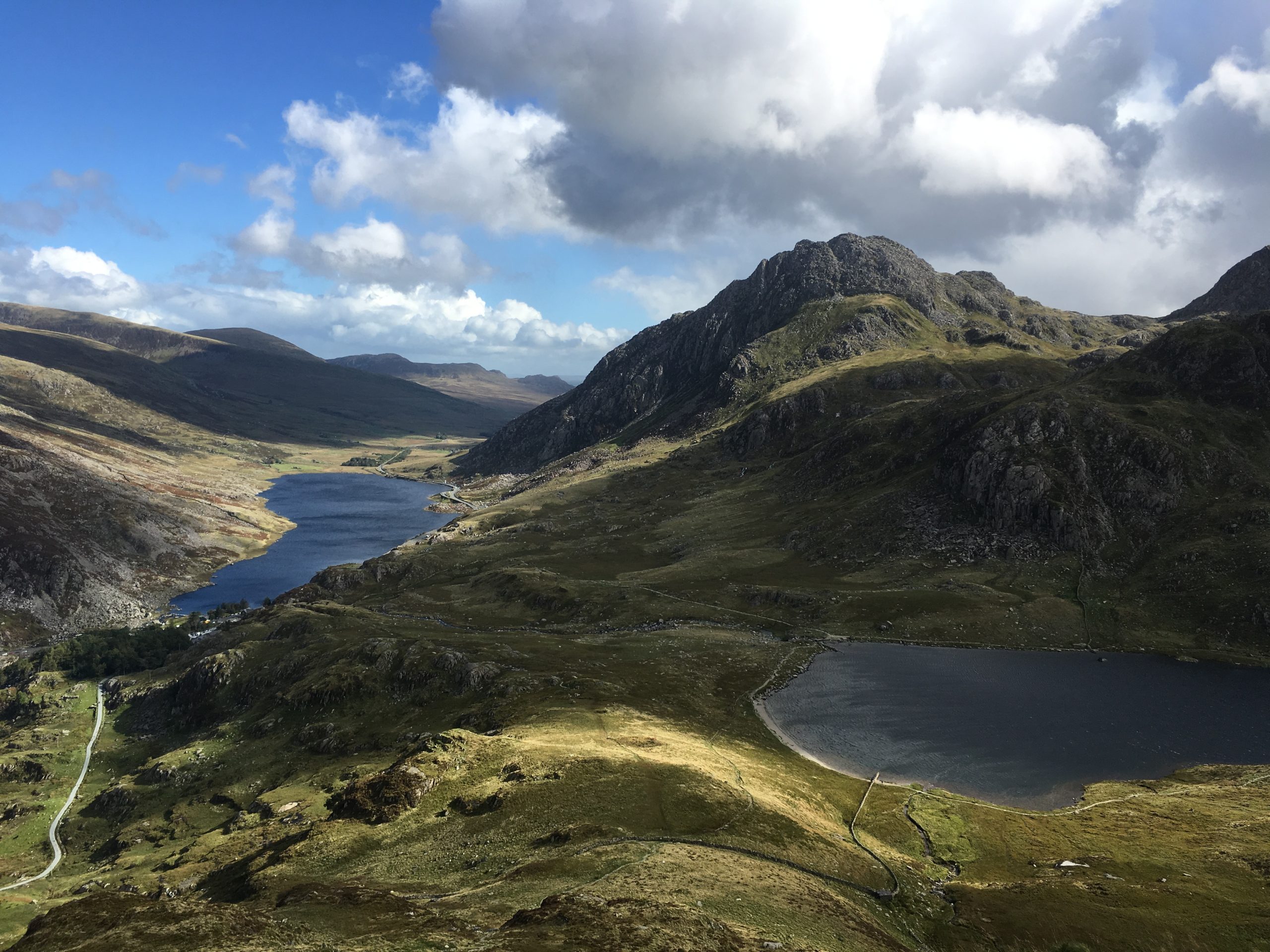
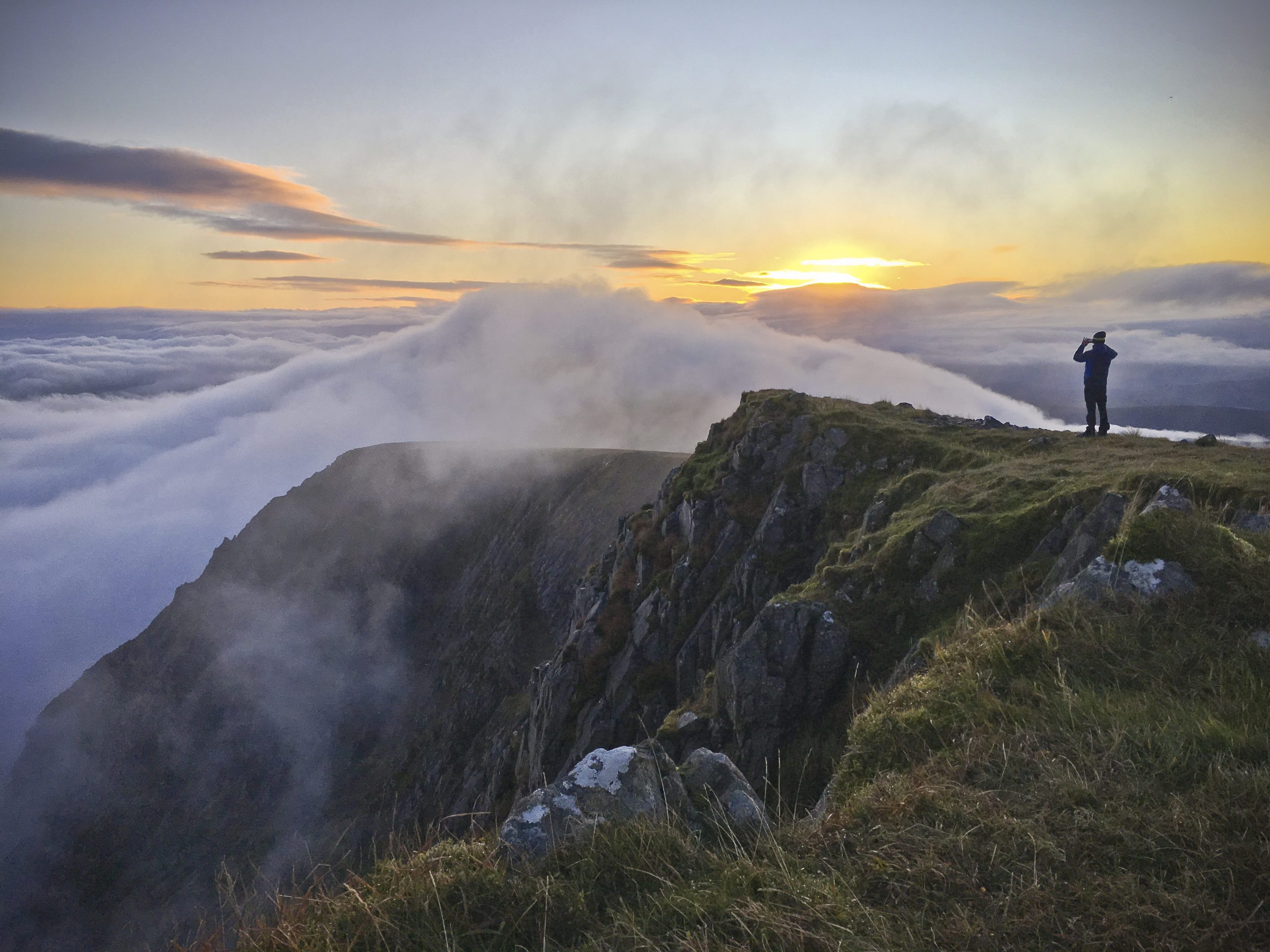
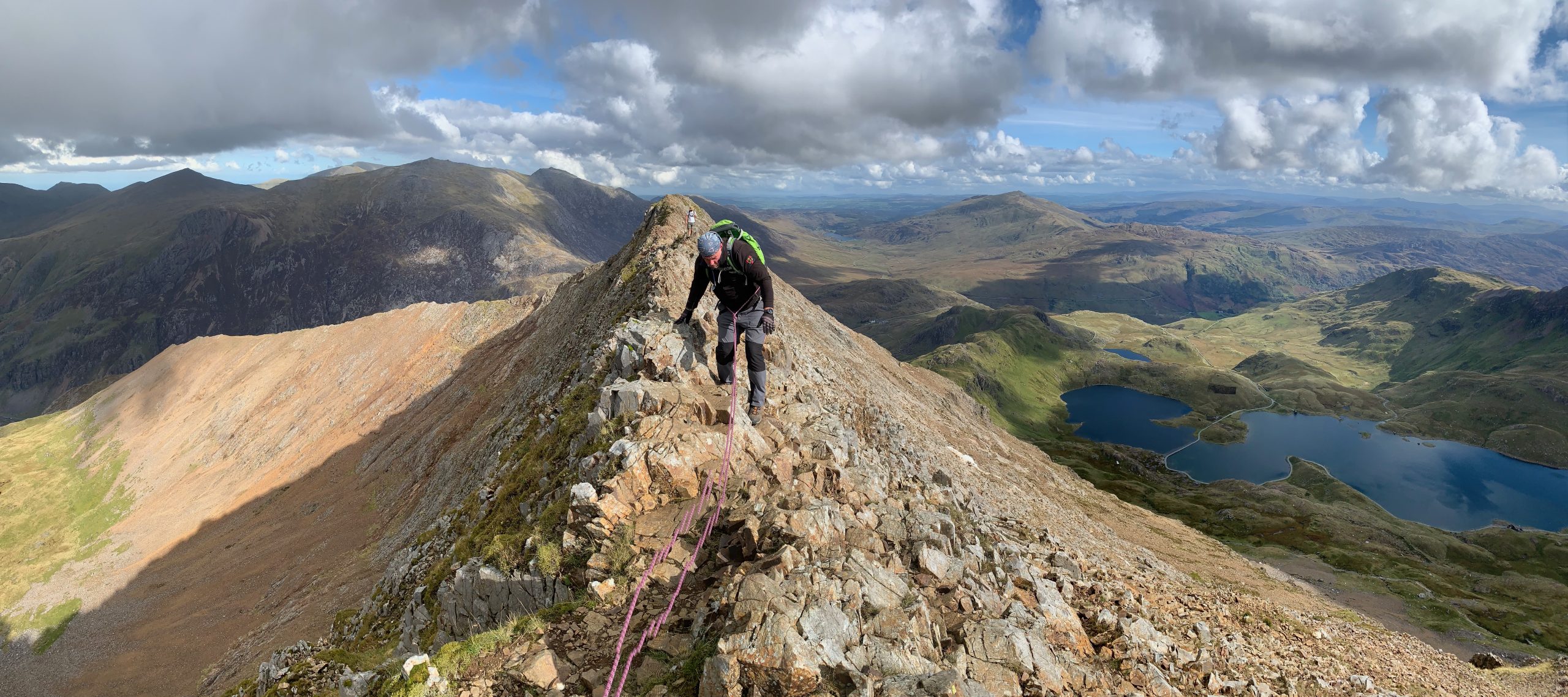
the Mountains of snowdonia
Many hikers concentrate on Snowdon itself. It is a beautiful mountain, but at times gets very crowded (it is the most summited mountain in the world! Probably helped by the presence of a railway to the summit)
Whilst other high mountains, with their boulder-strewn summits, are gaining popularity (e.g. Tryfan), many mountains in the national park are infrequently visited, which is why City Mountaineering trips focus on these ones…
The park has 1,479 miles (2,380 km) of public footpaths, 164 miles (264 km) of public bridleways, and 46 miles (74 km) of other public rights of way. A large part of the park is also covered by Right to Roam laws.
Geology of wales
The geology of Wales is complex and varied; its study has been of considerable historical significance in the development of geology as a science.
All geological periods from the late Precambrian to the Jurassic are represented at outcrops throughout Snowdonia and the effects of two mountain-building episodes have left their mark in the faulting and folding of much of the rock structures.
environment of snowdonia
The park’s entire coastline is a Special Area of Conservation, which runs from the Llŷn Peninsula down the mid-Wales coast, the latter containing valuable sand dune systems.
Snowdonia’s importance in the conservation of habitat and wildlife in the region reflects in the fact that nearly 20% of its total area is protected by UK and European law.
Half of that area was set aside by the government under the European Habitats Directive as a Special Area of Conservation.
All Trips in The Snowdonia National Park Series
-

-
-
-
-

-
 Popular
 -

-


Small Groups.
94% are solo travellers and with never more than 8 people per trip we guarantee a personal experience for all
Off Track.
With expert local knowledge and qualified guides we will take you away from the crowds, off the beaten track
Sustainable.
Promoting train travel & using local produce offers a perfect balance of adventure and sustainability
No Hassle.
Travel, transfers, accommodation, any technical kit and guided hiking is included in all our trips
Out of the City, Into the Mountains
All inclusive adventures from the city to the mountains.